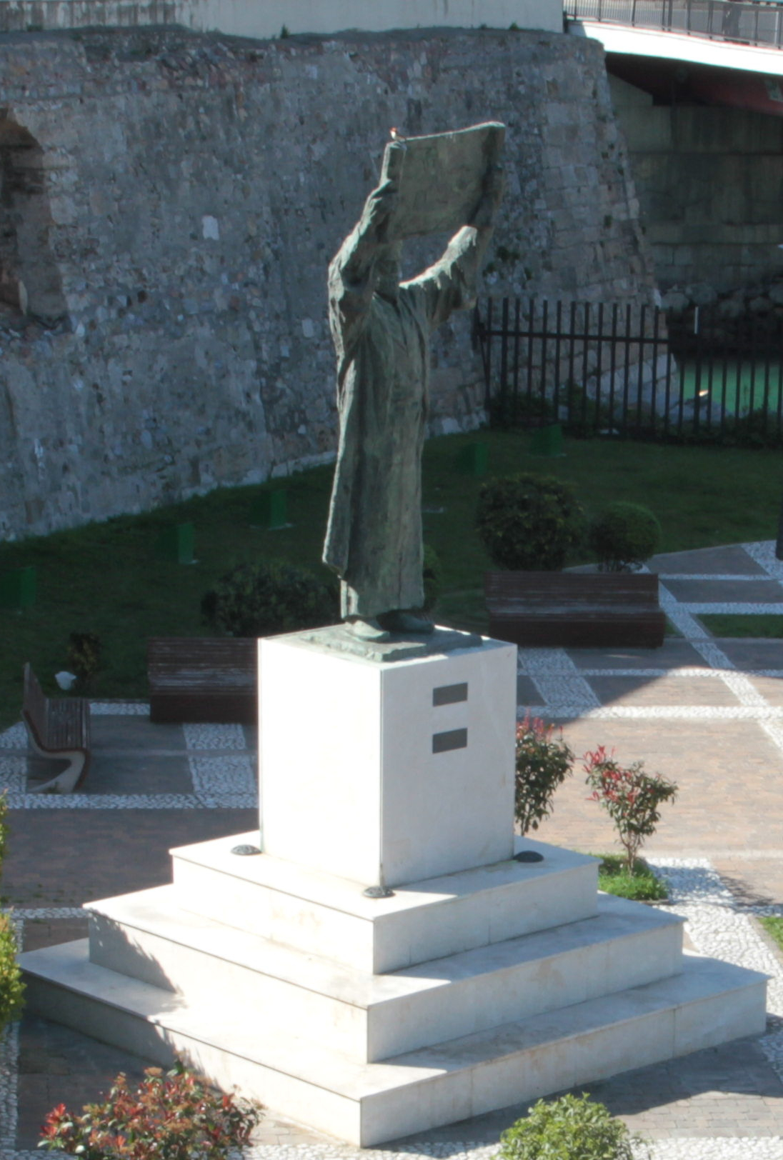
Abū ʿAbdullāh Muḥammad ibn Muḥammad al-Sharīf al-Idrīsī, known simply as Al-Idrisi (Arabic: أبو عبد الله محمد الإدريسي; Latin: Dreses; 1100–1165), was an Arab traveler, cartographer and geographer who was in the service of King Roger II of Sicily.
Through the works he wrote in the fields of geography and cartography, he both contributed to the accumulated knowledge of the Islamic world and played an important role in transmitting this knowledge to Europe. In his youth he traveled through Spain, Portugal, France, England, North Africa and Anatolia, and with the data he gathered he built up a comprehensive network of geographical knowledge. Around 1145 he entered the service of the Norman King Roger II of Sicily and spent the rest of his life at the court in Palermo. At the king's request, in order to remedy the inadequacy of existing maps, he made a globe of silver and prepared his masterpiece, Nuzhat al-Mushtāq (also known as Kitāb Rujārī, Latin: Tabula Rogeriana, The Book of Roger). This work is regarded as one of the most important and comprehensive sources of medieval geography. Various translations and studies have been carried out on the work.
Tabula Rogeriana
When the maps included in the work are examined, it is seen that the Earth is divided from the equator northward into 7 climatic zones, and, cut perpendicularly by 10 lines of longitude, into 70 parts. The geographical features of the countries covered by each part, their minerals, the animals living in the region and the plants growing there, the roads, and other features concerning the countries are described in detail. The information given about the Mediterranean region and the Balkans is particularly important.
In the upper part of Al-Idrisi's world map is Africa, and in the lower part are England and Scandinavia. This orientation is found in maps created by many Arab cartographers of the period. At the center of the map, in accordance with Muslim belief, lies Mecca.
Today ten surviving manuscript copies of the Tabula Rogeriana exist. Five of these contain the full text, while eight include the maps. Two of these copies are in the National Library of France; the oldest dates to about 1325 (MS Arabe 2221). Another copy, prepared in Cairo in 1553, is today preserved in the Bodleian Library at Oxford (Mss. Pococke 375). This copy was acquired in 1692. The most complete copy, containing the world map and all seventy regional maps, is preserved in Istanbul.
Important works
Nuzhat al-Mushtāq fī Ikhtirāq al-Āfāq
Uns al-Muhaj wa Rawḍ al-Faraj
Al-Jāmiʿ li-Ṣifāt Ashtāt al-Nabāt wa Ḍurūb Anwāʿ al-Mufradāt min al-Ashjār wa al-Thimār wa al-Ḥawāṣṣ
Related publications
Fuat Sezgin, İslâm'da Bilim ve Teknik (Science and Technology in Islam), joint publication of the Turkish Academy of Sciences and the Ministry of Culture and Tourism of the Republic of Turkey, Ankara 2007, Vol. 3, pp. 3–30.
Şaban Döğen, Müslüman İlim Öncüleri Ansiklopedisi (Encyclopedia of Muslim Pioneers of Science), pp. 215–217.
Colin A. Ronan, Bilim Tarihi, Dünya Kültürlerinde Bilimin Tarihi ve Gelişmesi (The History of Science, the History and Development of Science in World Cultures), TÜBİTAK publications, Academic series-1, translation: Prof. Dr. Ekmeleddin İhsanoğlu, Prof. Dr. Feza Günergun, Istanbul, 2003, pp. 255–259.
Bayram Ali Çetinkaya, İslâm Bilginlerinin Bilim Dünyasına Kazandırdıklarından Kesitler II (Cross-sections from the Contributions of Islamic Scholars to the World of Science II).
Abū ʿAbd-Allāh Moḥammad Edrīsī, Nozhat al-moštāq fī eḵterāq al-āfāq, edited by Enrico Cerulli et al., Opus Geographicum, 6 vols., Naples, 1970–76.
Abū ʿAbd-Allāh Moḥammad Edrīsī, Nozhat al-moštāq fī eḵterāq al-āfāq, translated by P. A. Jaubert as Géographie d'Edrisi, 2 vols., Paris, 1836–40.
Sources
- Turkish Wikipedia: tr.wikipedia.org
- TDV Encyclopedia of Islam: islamansiklopedisi.org.tr
- English Wikipedia: en.wikipedia.org